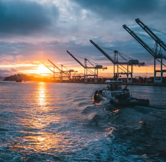
AI Maritime Intelligence
Understand what really happens in your nearshore waters: see how far you can actually see, detect every vessel, and cross-check it with AIS in real time.
Why Current Systems Fall Short
AIS and CCTV leave blind spots


AIS depends on active transponders. Many small vessels or violators simply go dark.
CCTV offers visual coverage but no intelligence, making it impossible to analyze hours of footage.
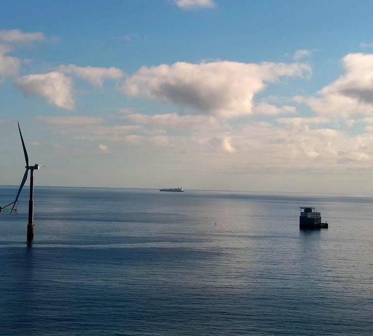
HF radar and metocean systems provide range, not line-of-sight. They give excellent offshore information but no clear picture of what can be visually observed near the coast.
The result: incomplete visibility, delayed response, and operational inefficiency.
Introducing AIMI – AI Maritime Intelligence
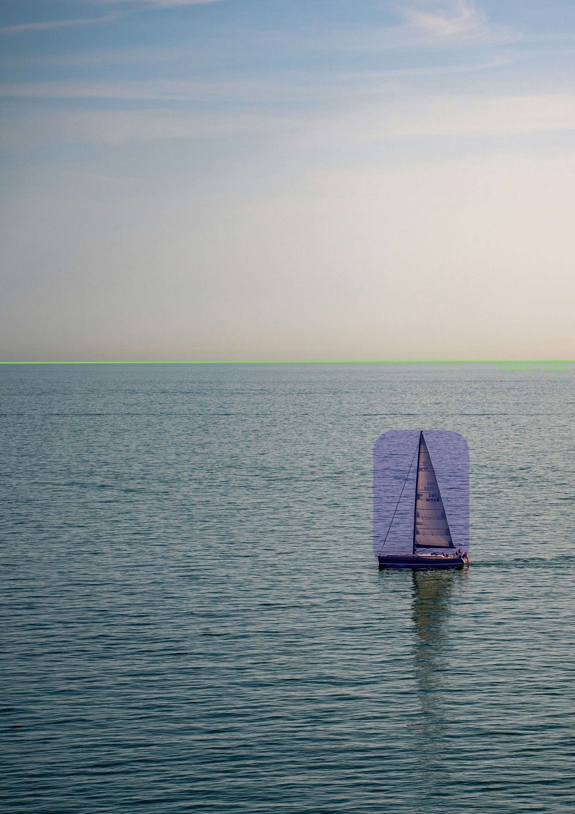
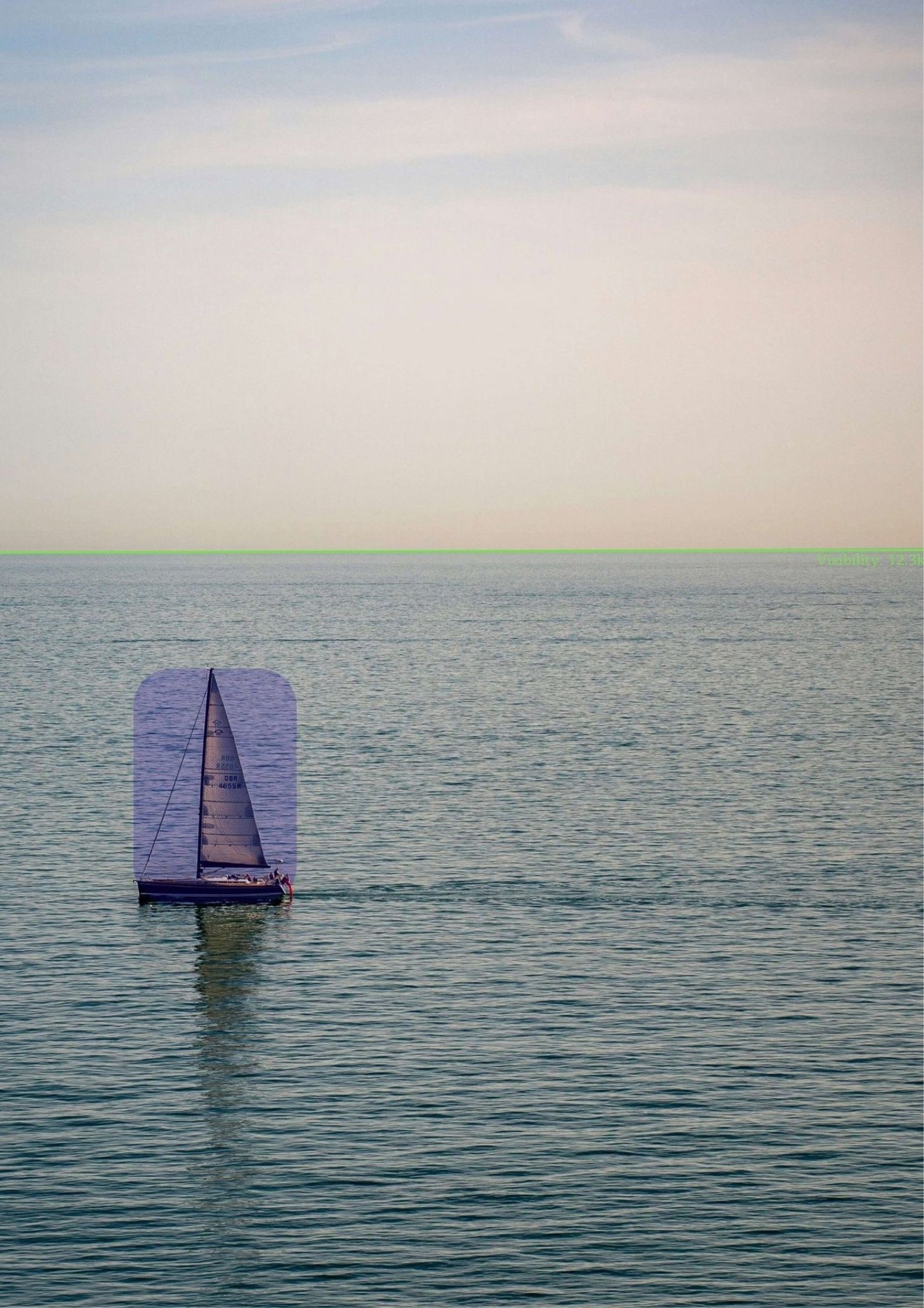
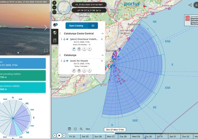
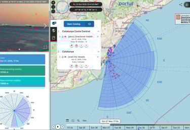
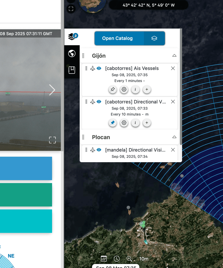
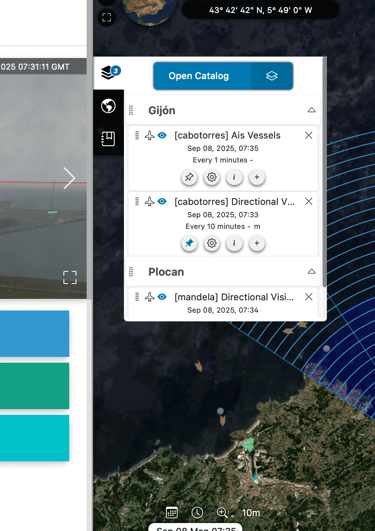
Directional Visibility
Measures how far you can see in every direction.
AIMI builds a real-time visibility map, showing clear and obscured sectors so operators can understand visual reach and anticipate low-visibility risks.
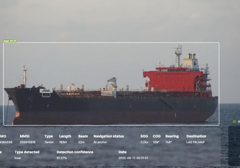
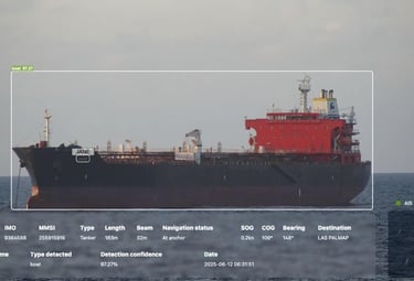
Optical & AIS Detection
Uses Optical Character Recognition (OCR) to extract vessel markings and cross-check them with AIS identifiers.
Flags missing or inconsistent data instantly, revealing “dark” or spoofed vessels that traditional systems overlook.
Structures detections into a searchable database and analytics layer.
Delivers dashboards with time-series, detection heat maps and exportable reports—turning visual data into operational knowledge.
Operational Data


Why AIMI
Looks at visibility, not just signals — showing how far you can actually see in each direction from a coastal station.
Detects all visible vessels, even small craft or “silent” targets that do not broadcast AIS.
Cross-checks optical and AIS data to highlight inconsistencies and suspicious behaviour.
Delivers dashboards and reports so teams can analyse trends instead of simply watching screens.
What Visibility Means in Real Operations
"Radar and AIS give us range and signals, but day-to-day decisions still depend on what is actually visible from the coast. A sector-by-sector visibility map tells us where we truly have line-of-sight and where terrain or weather leave us blind. That directly shapes how we plan traffic, assign patrols and manage risk in our approach channels.”
- Harbour Master, Port Authority
“For coastal protection, it’s not just seeing a boat — it’s knowing from which coastal stations that boat is even observable. Sector visibility shows where small craft can be visually confirmed and where they disappear behind cliffs, haze or swell. It helps us prioritise monitoring points, design smarter patrol routes and justify where new sensors are truly needed.”
- Senior Ranger, MPA Authority
Who Is AIMI For?
Ports & Coastal Authorities

Blind zones in port entrances reduce awareness and delay response. AIMI enhances SeaSonde radar data for clearer operational insight.


Marine Protected Areas
Offshore Facilities
Unauthorized fishing and vessel activity often go unnoticed in restricted zones. AIMI delivers continuous monitoring with real-time visibility.
Unexpected vessel approaches or loss of visibility threaten assets and crews. AIMI improves detection ranges and strengthens situational awareness.
How AIMI Works

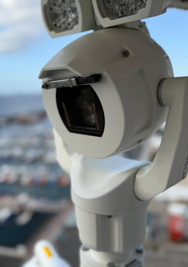
Optical Module
360° PTZ vision with maritime design with 40× optical zoom, wiper, IP66-68 protection and operation from −40 °C to +60 °C.


Edge AI Computing
Connectivity & Intelligence
Embedded NVIDIA GPU processes detections, OCR and AIS matching in real time. Installed in sealed panels protected against humidity, corrosion and salt.
Fuses optical, AIS and radar context into a single AIMI map, delivering analytics and alerts through PORTUS AI or existing VTS systems.
Eliminate blind spots: detect, identify and verify in real time
Discover how AIMI can enhance your nearshore operations by showing real visibility sectors, identifying all visible vessels and cross-checking them with AIS in real time.